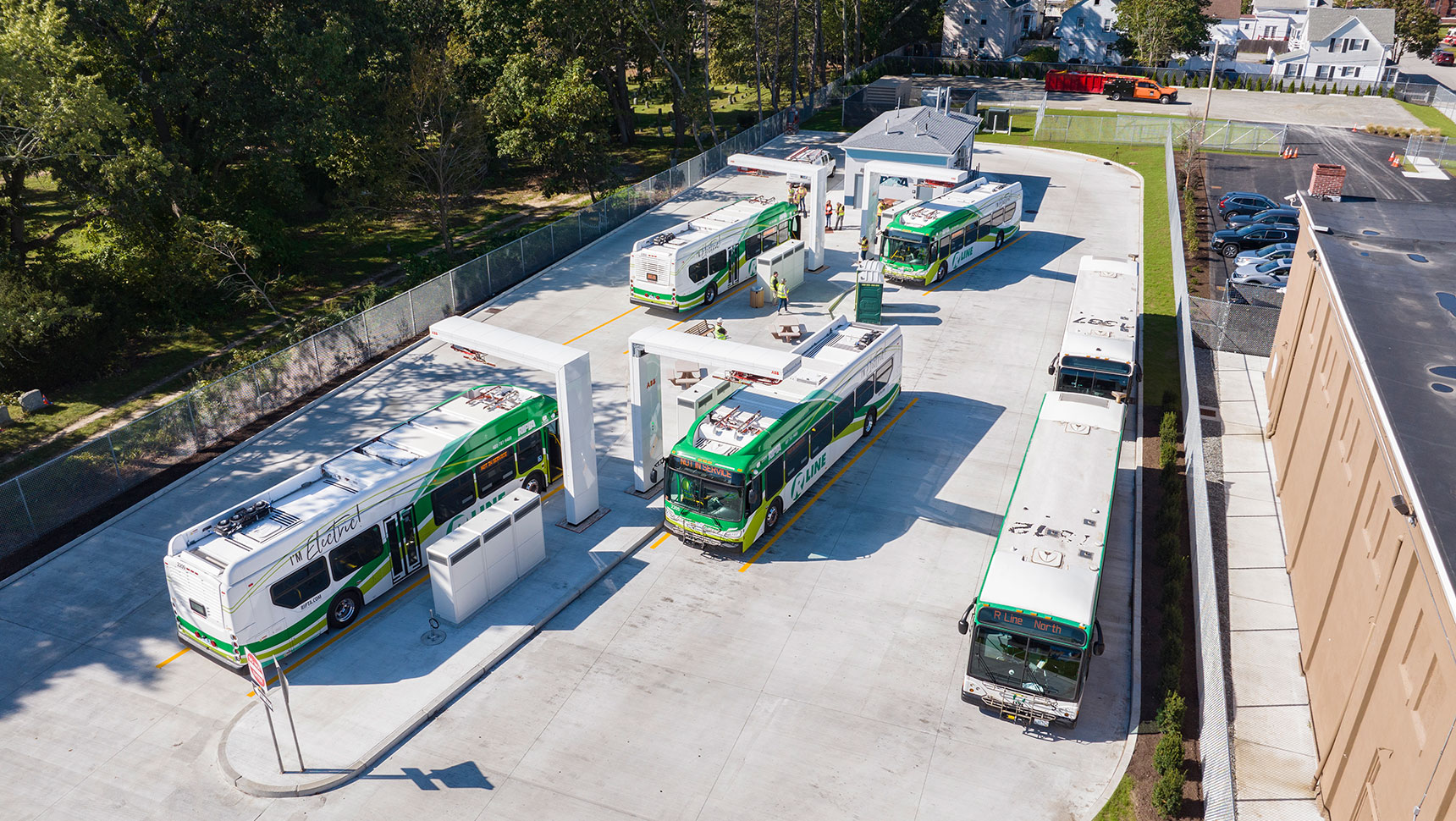
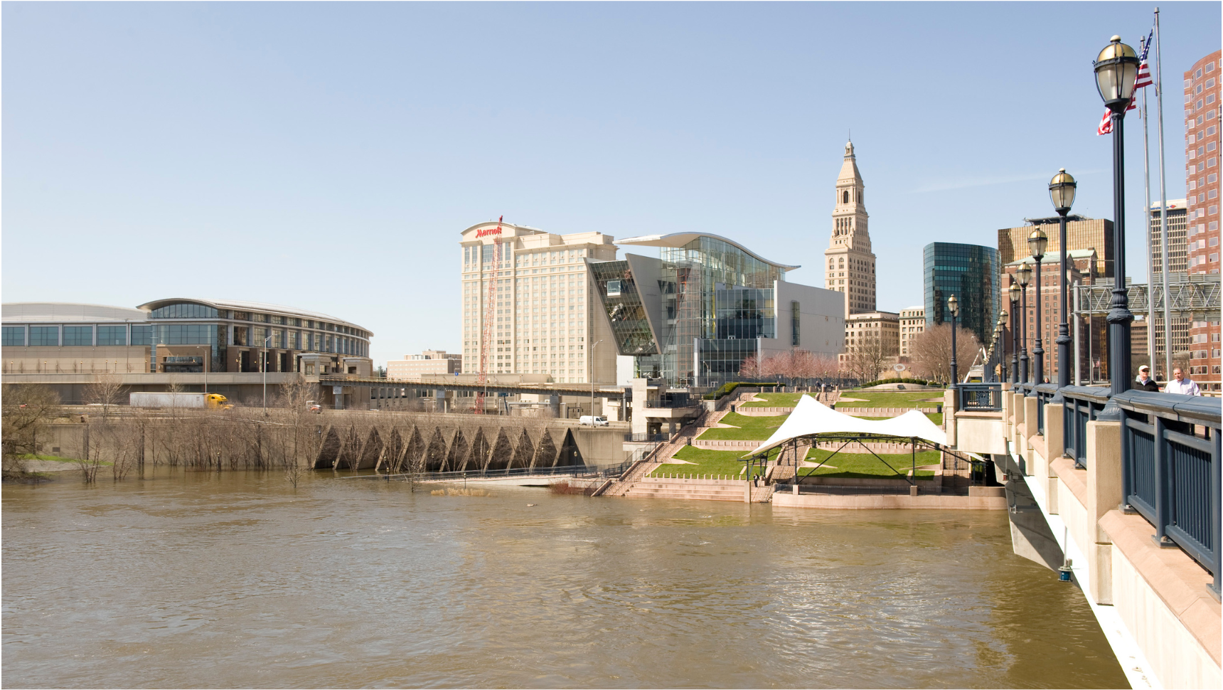
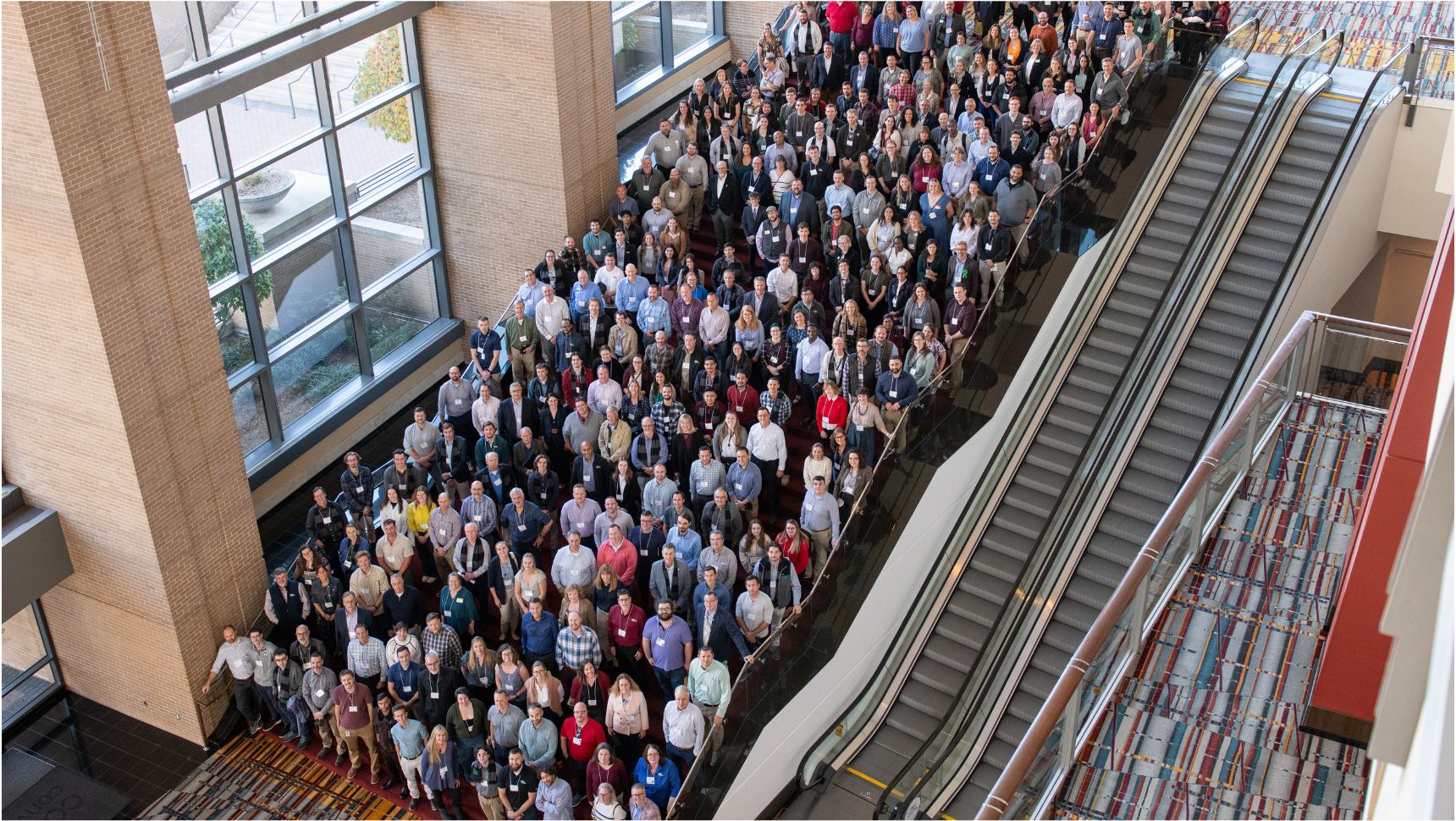
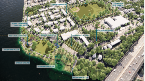
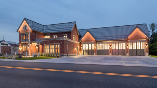
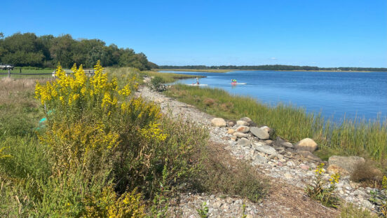
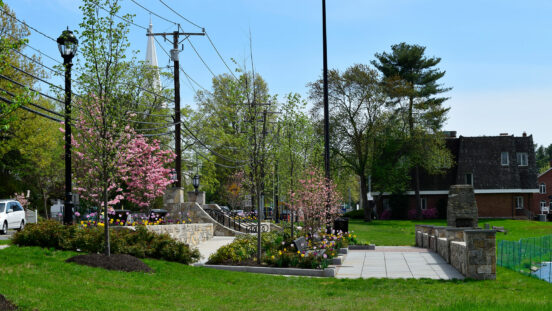
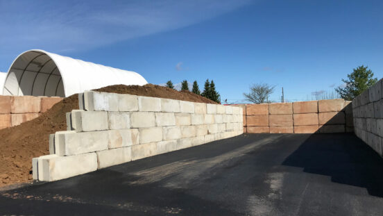
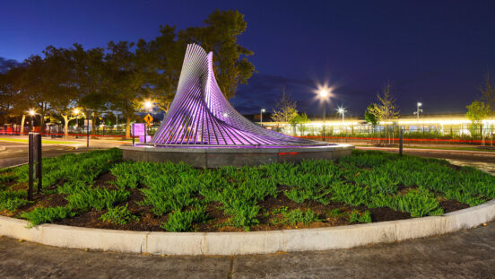
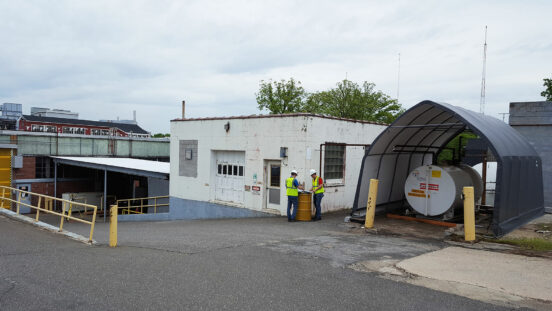
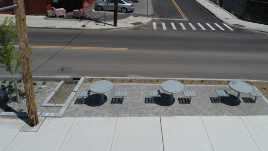
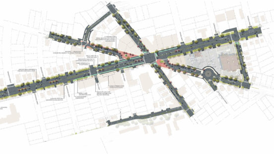
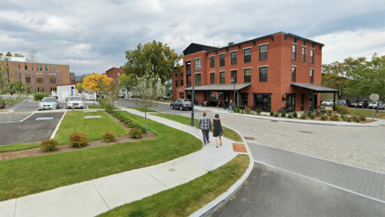
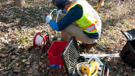
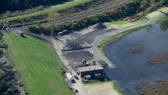
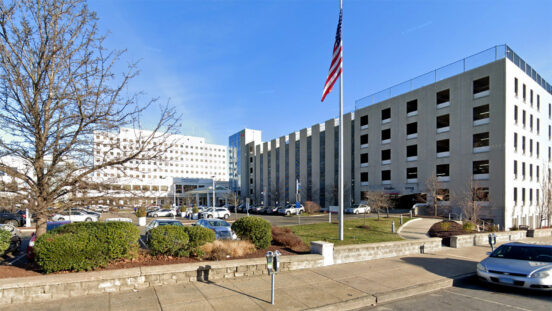
Third Beach Road Flooding Improvement Project

Portions of Third Beach Road and the connector to Sachuest Point Road routinely flood during non-storm situations, creating hazardous conditions. Approximately 22 inches of sea level rise (SLR) is predicted for the state by 2050, according to the National Oceanic and Atmospheric Administration (NOAA). Fuss & O’Neill incorporated NOAA projections into the design of the roads and nearby Navy Beach parking area to elevate them an average of 30 inches.

This project provides resilience against nuisance flooding for approximately 50 years since sea level rise is projected to reach 30 inches by 2070. Accounting for SLR in the design and construction provides for a longer potential service life for the project, reduces public safety risks, and lowers maintenance and repair costs associated with frequent flooding.

Co-benefits of the project, which involved permitting and coordination with the Rhode Island Department of Environmental Management, the Rhode Island Coastal Resources Management Council, and the U.S. Fish & Wildlife Service, include design of a parking lot bioretention basin to reduce and improve the quality of stormwater runoff and the use of nature-based design to convert part of the connector road into a dune to provide added habitat benefits.