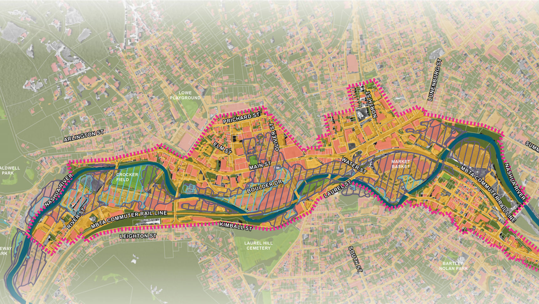

Herring River Salt Marsh Restoration
The Herring River Estuary was a great saltwater tidal marsh flowing into and out of Cape Cod Bay. In 1909, the Herring River was diked in the hopes of providing relief to vacationers from mosquitos breeding in the salt marsh (tourism being critical to the region’s economy).
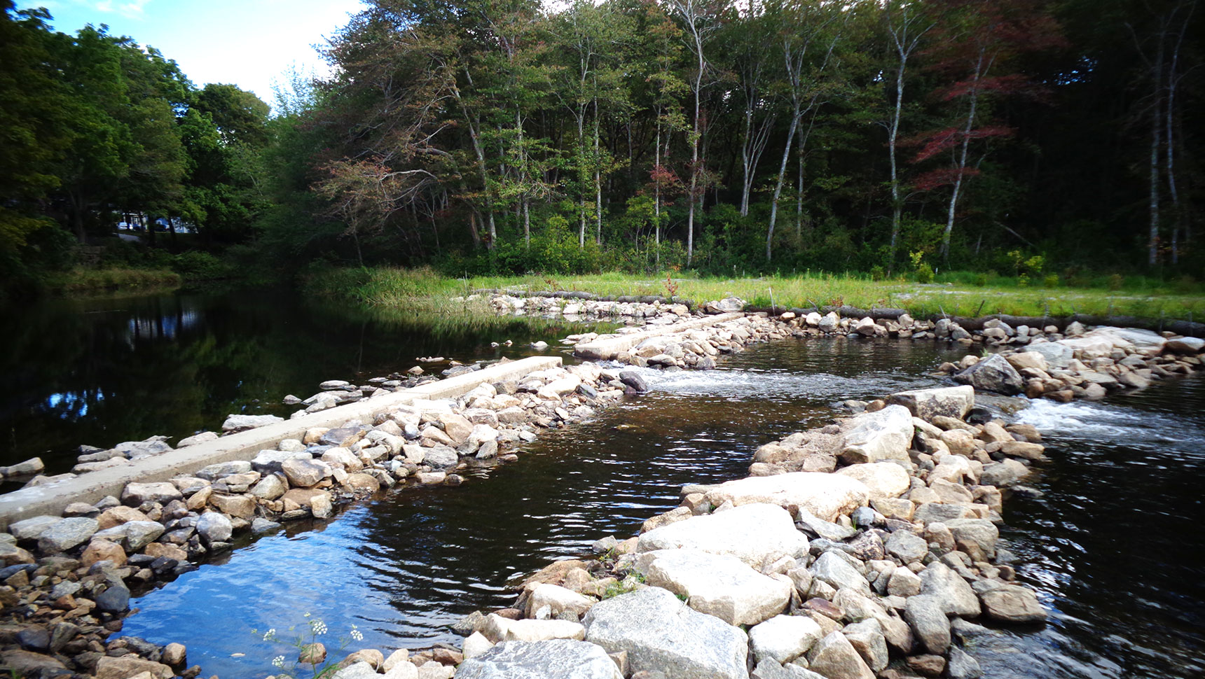
Significantly reducing the tides and exchanging water within the estuary upset the health of this sensitive ecosystem. Some of these changes resulted in reduced oxygen levels and increased acidity in the water, causing significant harm to the habitat of fish and crustaceans. Freshwater plants and species invaded the ecosystem, replacing native marine plants that formerly thrived over large areas. Almost all aquatic life in the estuary suffered the effects of diminished water quality. The numbers of migrating fish were significantly diminished and the wetlands remain, to this day, affected by restricted tidal flows.
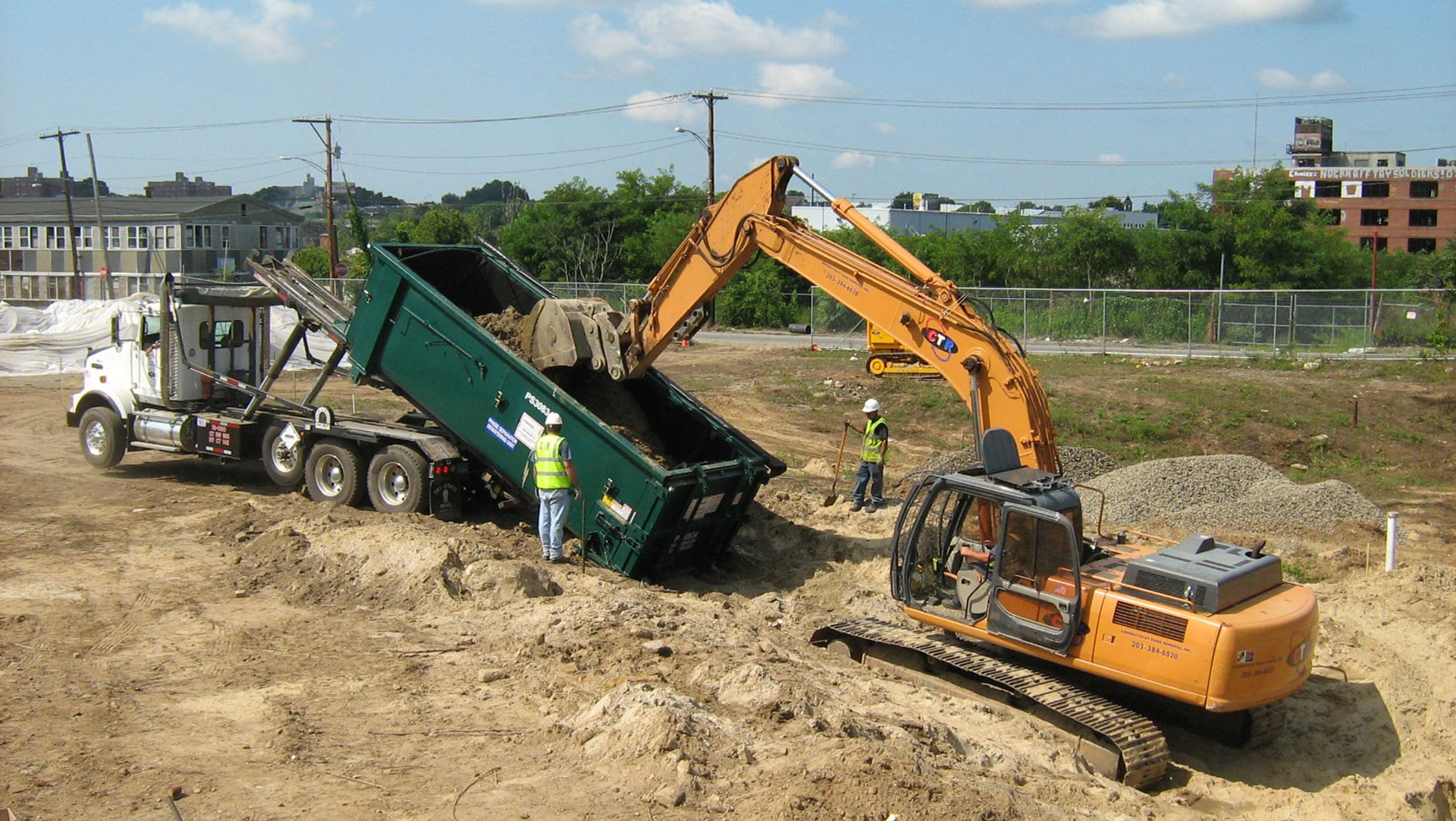
The Herring River Restoration Committee (led by MA DER, NOAA, NPS, and USFWS) and Conservation Law Foundation selected Fuss & O’Neill to lead the design of a new bridge structure and two secondary dike structures across Mill Creek. The purpose of this project is to replace an existing causeway with a bridge structure to allow gradual restoration of tidal flows to restore 1,100 acres of former salt marsh.
This is the largest salt marsh restoration project ever undertaken in the Northeast.
Workshops were conducted with project partners and the public to present and discuss alternative bridge configurations and public access improvements. This workshop approach helped the design team to review alternatives and to obtain critical feedback, from which concepts were developed.
The concepts allowed for accurate assessments to identify which configuration would best meet the project’s unique functional requirements while minimizing impacts to adjacent natural resources, regulatory barriers, construction costs, and long-term operating and maintenance costs.
Carefully prepared reports, alternatives assessments, and cost/impact evaluations documented efforts through all phases of the feasibility studies. These reports were prepared in a manner to facilitate inclusion into later permitting and regulatory compliance filings.
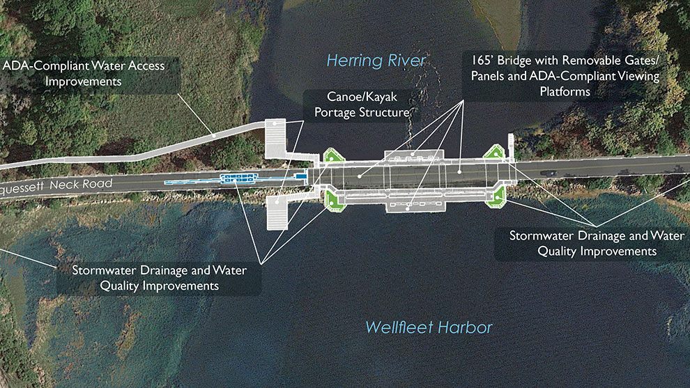
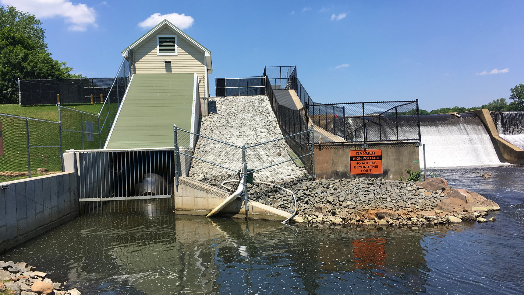
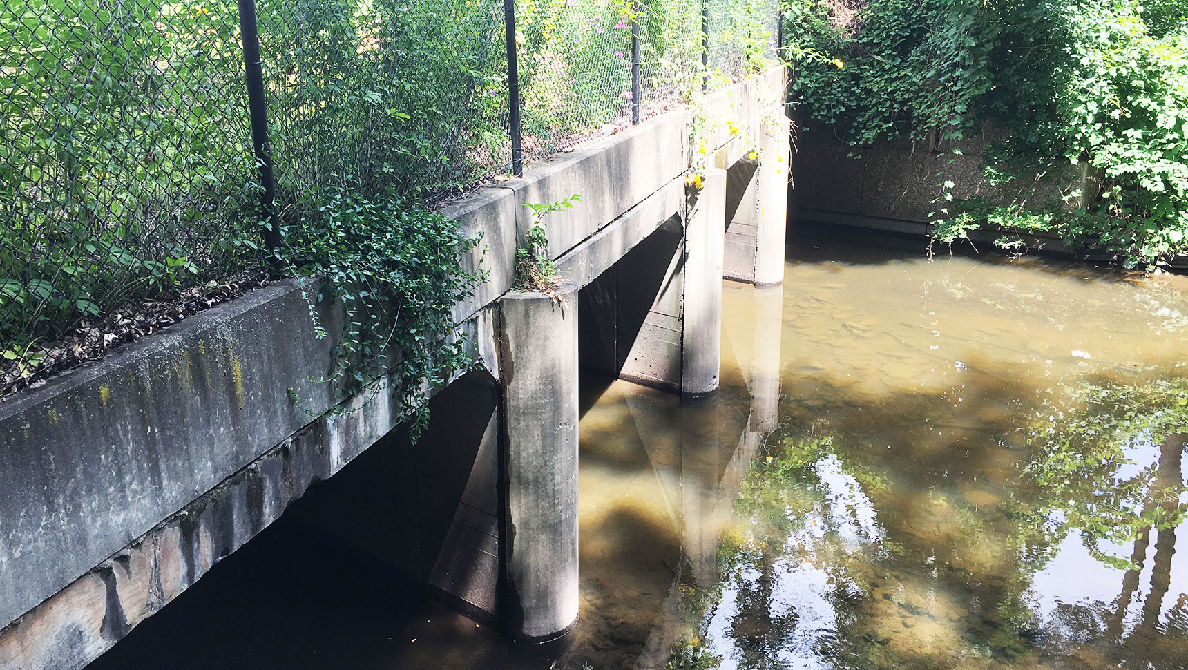
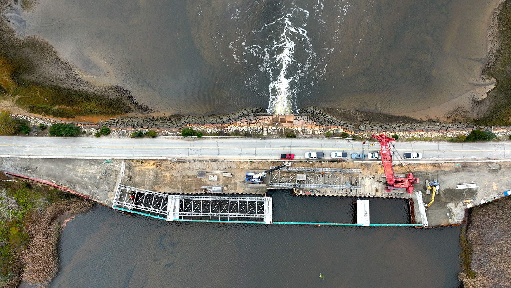
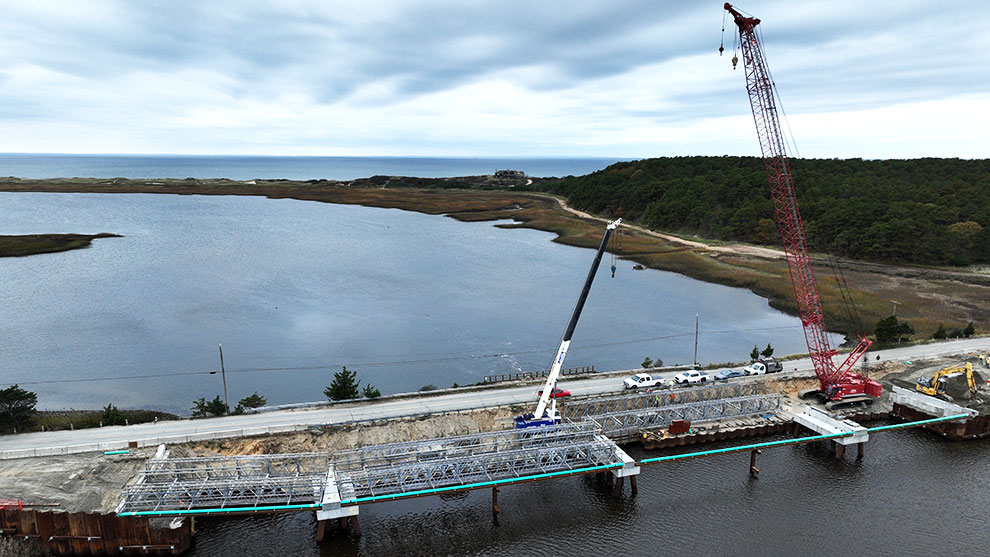
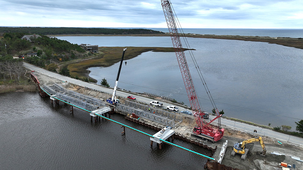
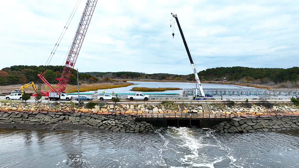
The existing raised roadway across the Herring River salt marsh has limited waterway openings that cut off the fragile ecosystem upstream from the Cape Cod Bay from the water that it needs to thrive. To correct this, this entire roadway embankment will be replaced with a combination bridge and water control structure with a 160-foot-span at the mouth of a coastal river in a manner that will allow National Park Service scientists to control flows into the marsh system.
This one-of-a-kind design includes removable flood panels that can be inserted through the bridge as well as slide gates in some of those panels to provide more finite controls.

These operable gates allow for controlled flow. Over a long period of time, this will re-establish the aquatic and vegetation environments that existed at this site prior to the roadway’s construction. Additionally, this bridge structure will provide future flood protection for homes and infrastructure around the restored marsh area.
The new bridge structure over the Herring River will also provide ADA-compliant public boat and fishing access improvements for the public. The design incorporates parking, viewing/fishing piers, re-use of stormwater with built-in planters, and water access for small recreational watercraft.
Fuss & O’Neill’s structural, hydraulic, environmental, and climate change professionals carefully balancing their multidisciplinary expertise to ensure that the site is well positioned to be restored to its natural condition.