
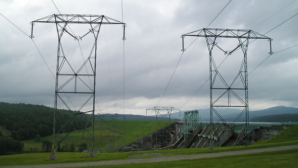
Transmission Line Surveys
Fuss & O’Neill has been providing transmission line surveys to Eversource for years. These projects are important to Eversource to ensure that they have clear documentation and monumenting of their acquired rights.
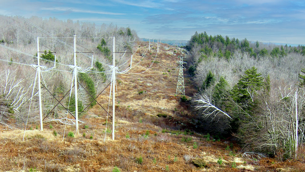
Through the research process, any deficiencies in rights or gaps in the corridor were presented to Eversource so that they could initiate the process of securing their contiguous rights in their transmission corridors as well as to identify or acquire access rights for construction and maintenance. The monumented line of location surveys provided record drawings that documented the rights throughout the transmission line corridors. The monuments provide a physical reference to the line of location. The placed monuments indicate where the line of location is on the ground.
These survey services are part of a larger multidisciplinary effort to improve and storm-harden the transmission lines to continue to provide reliable electricity to the communities that they serve. The following projects present examples of our work.
This project included review of easement documents, a right-of-way corridor survey, flagging of clearing limits, as well as structure and line sag as-builts for a three-mile transmission line segment that starts from the Bud Tap in Litchfield, NH, progresses northerly and easterly through Litchfield, and crosses the Merrimack River to the Reeds Ferry substation in Merrimack, NH.
Fuss & O’Neill’s survey team conducted extensive background research in the Brickyard Drive neighborhood to further document Eversource’s rights and easement location to ease the abutters’ concerns over the staked easement location that runs through their properties.
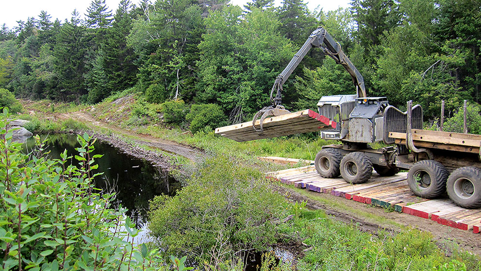
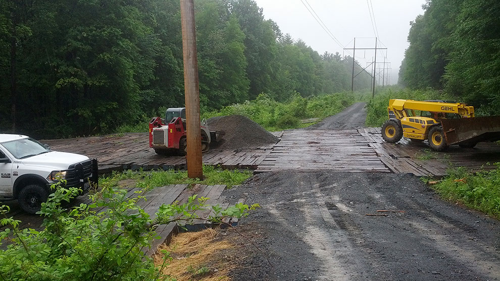
Additionally, we provided construction support with staking of new structures and flagging the easement limits of the transmission corridor. Upon completion of construction, we performed as-built surveys on the newly constructed structures and the line sags.
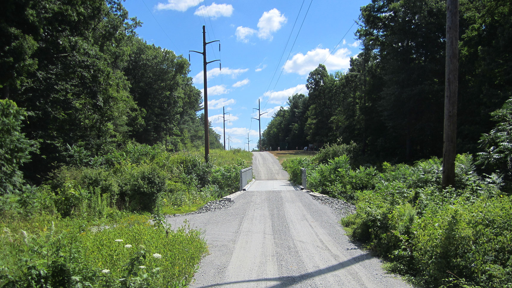
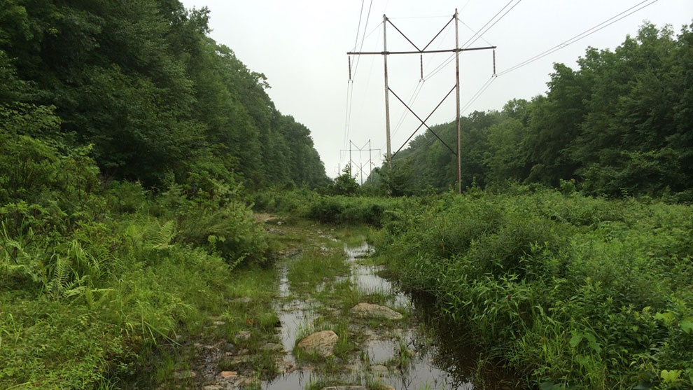
This project included a 10-mile transmission line corridor survey from the Connecticut River in Hinsdale, NH, through Winchester, NH to the Massachusetts state line. Work included review of easement documents, a right-of-way corridor survey, and flagging of clearing limits through extremely rugged terrain. The baseline was monumented at approximate 600-foot intervals and record plans were generated that documented the survey and the monumented line of location.
Because of the short timeline for completion, Fuss & O’Neill orchestrated as many as four different crews to supply the necessary manpower to complete the project on time.
Fuss & O’Neill completed a survey of a 13-mile transmission line corridor for easement baseline monumentation between the Deerfield substation in Deerfield, NH and the Madbury substation in Madbury, NH. Eversource requested that their easement limits be reestablished and that a corridor baseline be monumented for permanent control.
A control network for the project was established on the SPC83 NH grid projection using GNSS. Research documents along the corridor were gathered and the corridor was surveyed for evidence of property lines and easement limits. Record and field evidence were reconciled to reestablish the L175 corridor easement. A baseline for the corridor was monumented at angle points and approximate 2,000-foot intervals. Record plans were generated that documented the survey and baseline monuments.
This project was a six-mile transmission line corridor for right-of-way baseline monumentation between the Huse Road substation in Manchester, NH and the Scobie Pond substation in Londonderry, NH. Eversource requested that their right-of-way limits be reviewed and reestablished for installation of permanent control monuments along the corridor baseline.
An isolated right-of-way discrepancy was discovered and reported to Eversource for resolution. A baseline for the corridor was monumented with granite bounds at approximate 1,000-foot intervals and record plans were generated documenting the survey and baseline monuments.
Services for stakeout of structures and clearing limits were also provided. Structure and line sag as-builts of the newly constructed transmission line were surveyed and the resulting data was transmitted to Eversource.
This project included a 23-mile transmission line corridor survey that shared a 3-mile portion of the 381 Line corridor from the Connecticut River in Hinsdale, NH to where the 381 line branched off in Winchester, NH towards the Massachusetts state line. The 379 line then continued easterly to the Fitzwilliam substation in Fitzwilliam, NH.
Work included review of easement documents, a right-of-way corridor survey, and flagging of clearing limits through extremely rugged terrain. The baseline was monumented at approximate 600-foot intervals and record plans were generated documenting the survey and the monumented line of location.
Because of the short timeline for completion, Fuss & O’Neill coordinated as many as four different crews to supply the necessary manpower to complete the project on time.
This project is a three-mile transmission line MLOL survey. Eversource requested that their easement limits be reestablished and that a corridor baseline be monumented for permanent control. A control network for the project was established on the SPC83 NH grid projection with GNSS. Research documents along the corridor were gathered and the corridor was then surveyed for evidence of property lines and easement limits.
Record and field evidence were reconciled to reestablish the J114 easement corridor. A baseline for the corridor was monumented at angle points and approximate 600-foot intervals. Record plans were generated documenting the survey and baseline monuments.
Additionally, the Fuss & O’Neill survey team provided construction support with the staking of the location of new structures. Upon completion of construction, we performed as-built surveys on the newly constructed structures and the line sags