Chicopee Brook Flood Resilience Planning
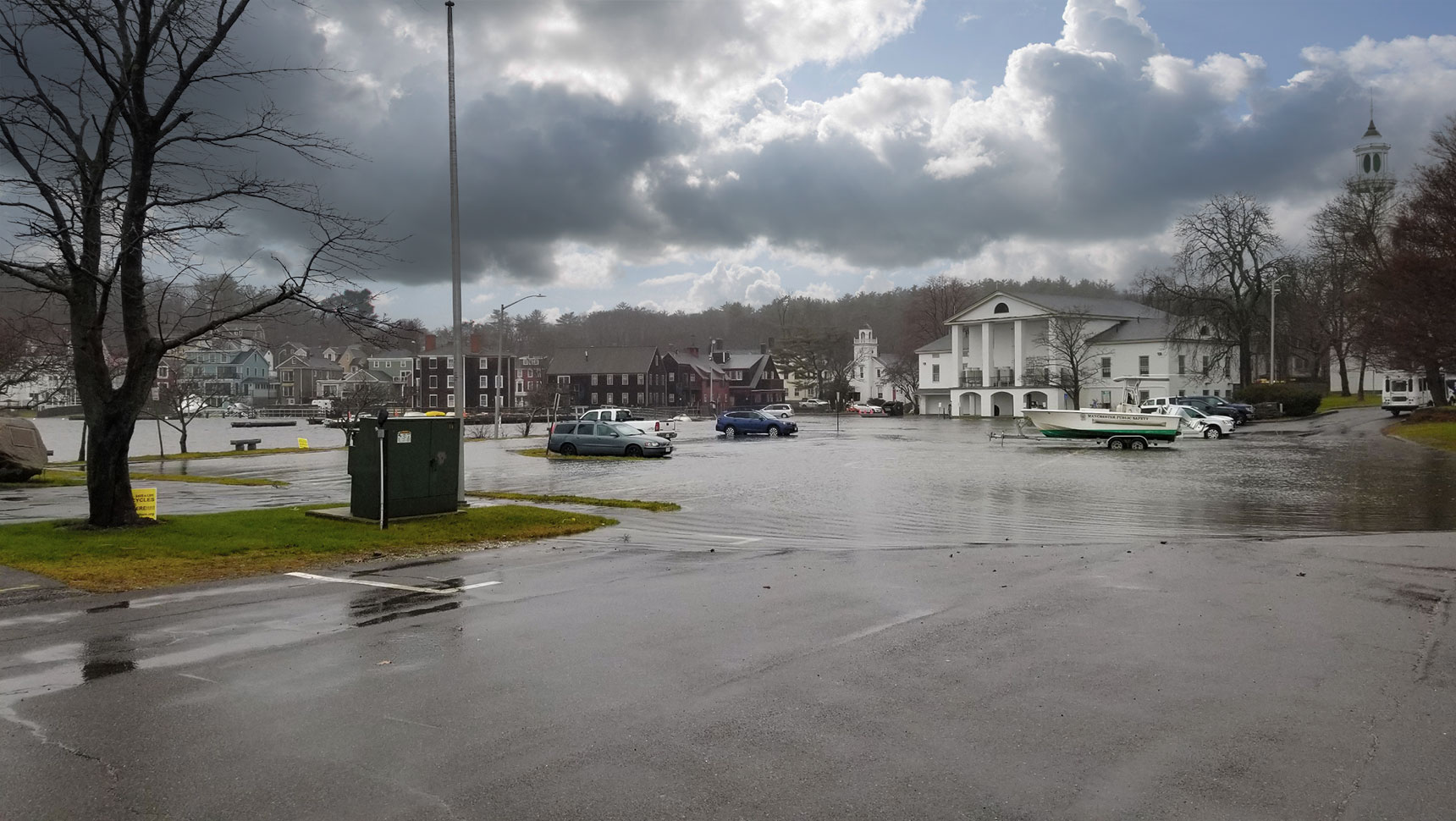
During the Town of Monson’s municipal vulnerability preparedness (MVP) planning process, flood risk reduction along Chicopee Brook was identified as one of the highest priority needs in the Town of Monson – especially in the downtown area and the reach that passes through a mapped environmental justice (EJ) population area before the Brook’s confluence with the Quaboag River in Palmer.
With funding from the Commonwealth’s MVP Action Grant, the Town hired Fuss & O’Neill to complete a localized flood analysis and to develop preliminary conceptual designs for reducing flood risks along the Brook through a combination of both nature-based and innovative engineering approaches.
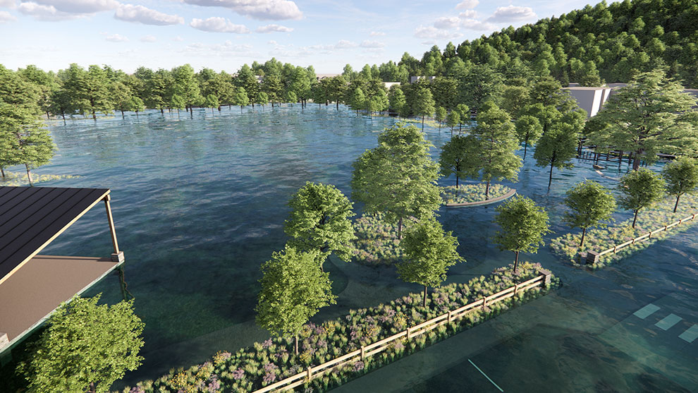
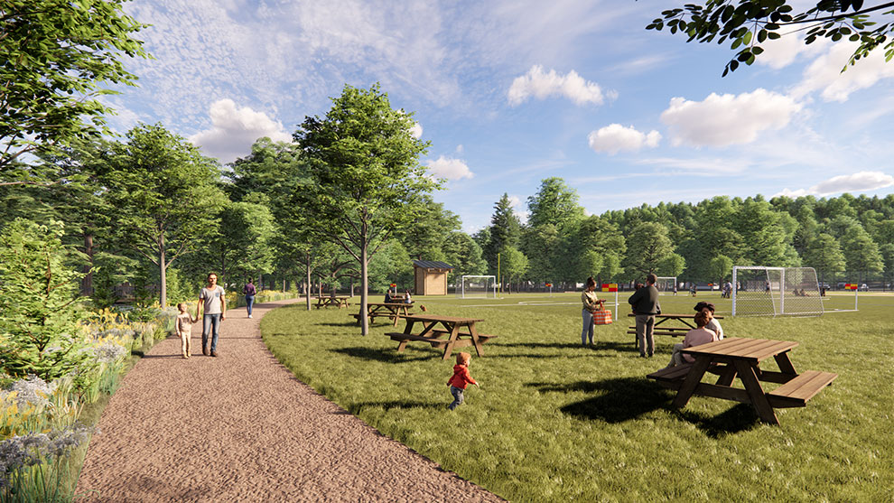
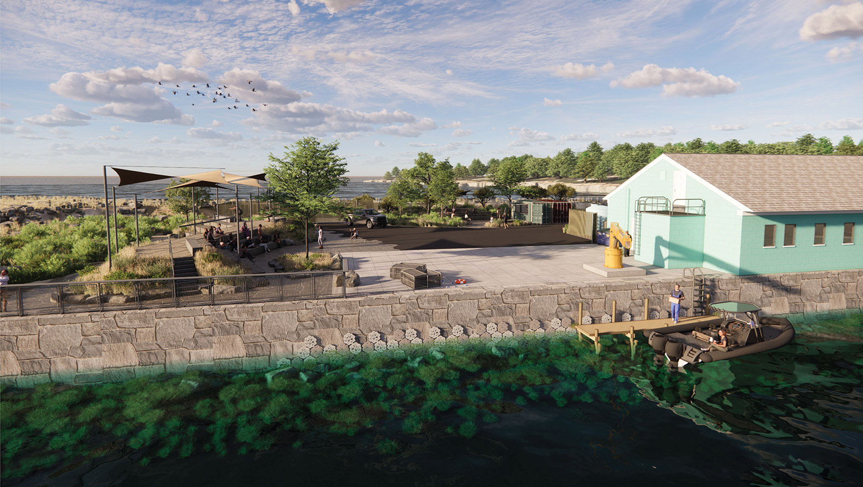
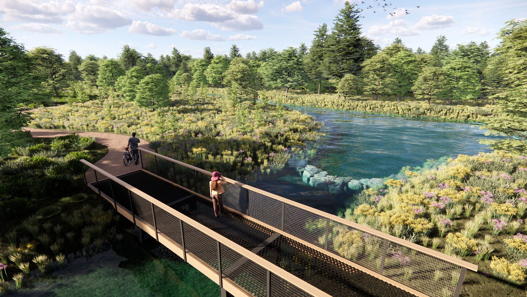
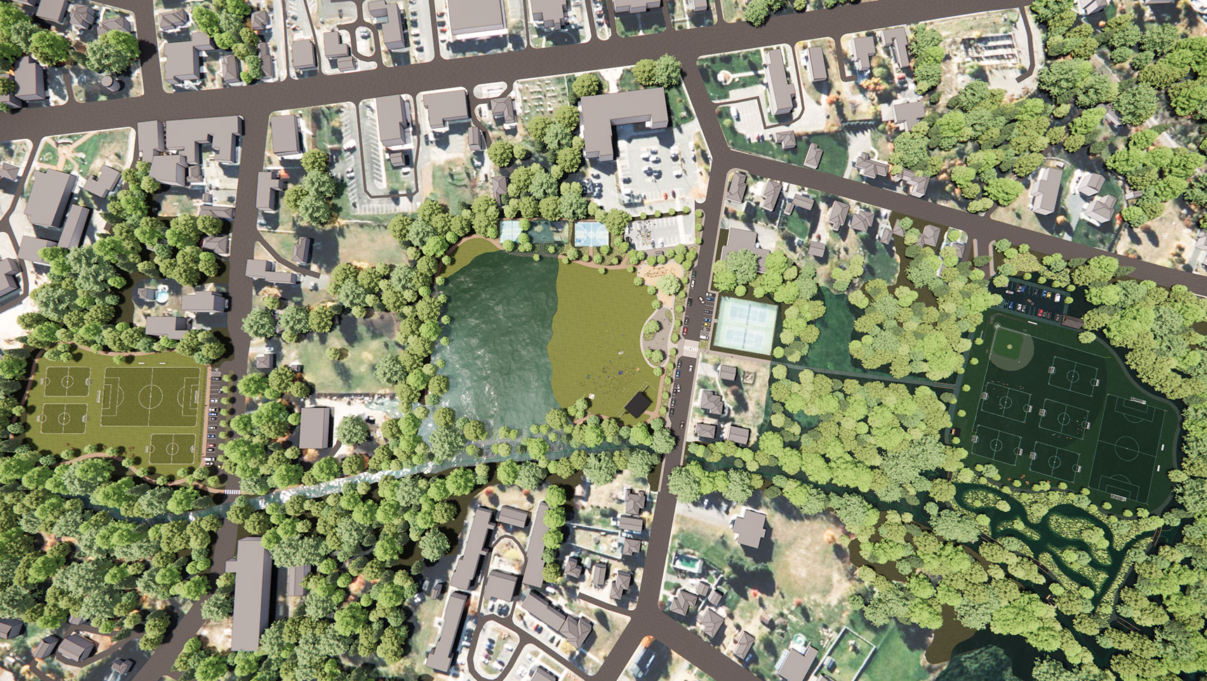
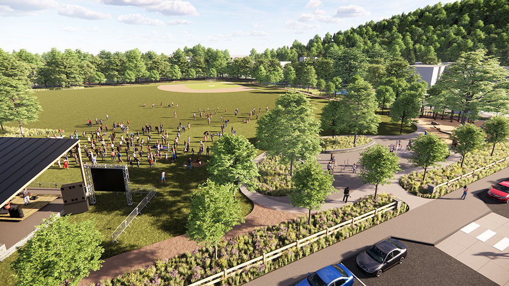
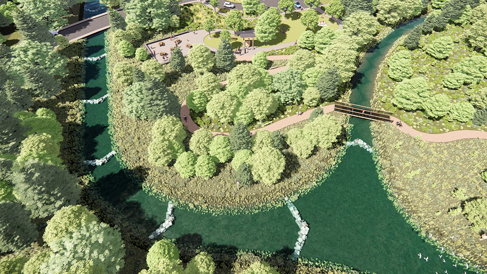
As part of this project, Fuss & O’Neill’s multidisciplinary team, including our Landscape Architects, developed illustrative conceptual plans for key flood resilience projects for priority sites along Chicopee Brook, including the Bunyan Road crossing, Cushman Field Park, Veterans Field Park, Bliss Street Dam, and Maple Street crossing.
This project included a large public involvement and community engagement aspect to participate in co-creating the vision for a resilient downtown Monson.
Master planning design elements included various features such as:
During alternatives analyses and modeling that were conducted under the first phase of this project, it became clear that, due to the nature of the river system, watershed, and surrounding topography at Bunyan Road, a structure replacement designed to accommodate the 2070 50-year storm would require more than 240 feet of total culvert width to prevent road overtopping.
This solution would carry an associated project cost well over $10M. The project team considered the option of buyouts, but this was not practical due to the critical well infrastructure that would still require access, even if the Bunyan Road homeowners were willing to sell and relocate.
Instead, Fuss & O’Neill identified an alternative adaptation strategy that will reroute Bunyan Road south along the west side of Chicopee Brook to tie into an existing road to the south, with no need to cross the river. This alternative would allow for the full removal of the Bunyan Road crossing and all associated road embankment fill out of the floodplain, as well as the potential removal of abandoned downstream railway embankments (never put into service) that also obstruct flow through the floodplain.
The broad wetland corridor, which is currently bisected by Bunyan Road and the rail embankments, could be restored, creating significant additional flood storage, improving the ecological health of the wetlands, and reducing overall project cost to less than half the cost of other alternatives.
Successful implementation of this project would mean that the Town could: