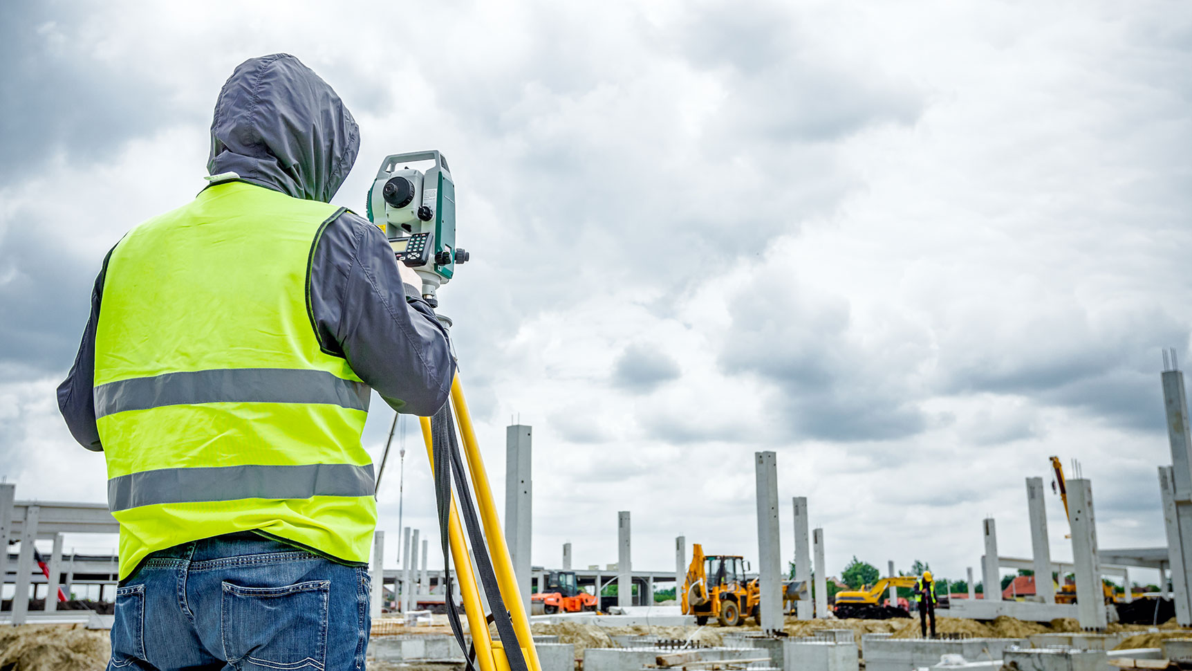
Land Surveying


Fuss & O’Neill was founded as a survey practice 100 years ago. This unparalleled experience yields exceptional benefit to our clients, as survey is an initial and integral step in most projects.
We combine our experience with the latest technologies to aid in the development of project designs, plans, and specifications. Every site is unique. Having the correct data at the beginning of a project (land research, easements, rights-of-way, maps, etc.) creates a realistic understanding of a project site from which constructable designs can be created. This foundational knowledge keeps projects running on time and within budget.
*Survey services available in New Hampshire, Vermont, and Maine.