
Shawsheen River Master Plan
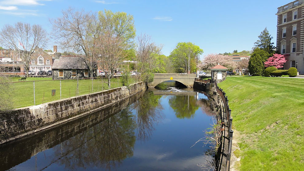
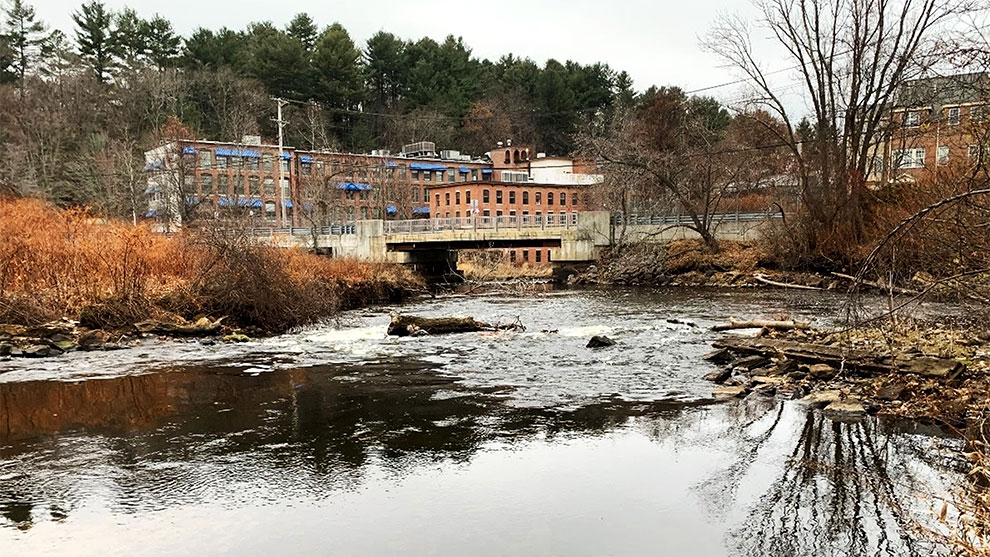
The Shawsheen River (the “Shawsheen”) is a vital element of Andover’s identity. The Town’s industrial heritage is closely tied to the Shawsheen, as is the community’s ability to adapt to future climate impacts. Over the past two decades, flooding along the Shawsheen has displaced local residents and has caused significant property damage. Yet, the river continues to provide significant educational, recreational, and social benefits to the Town.
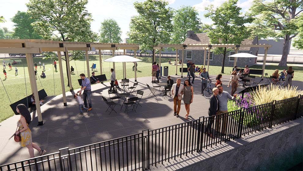
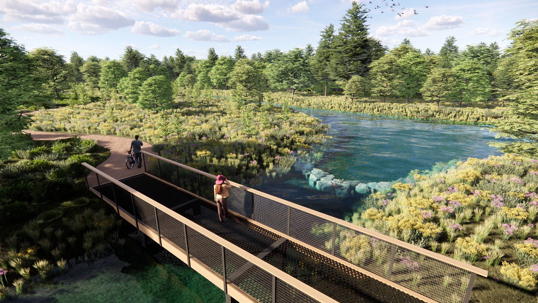
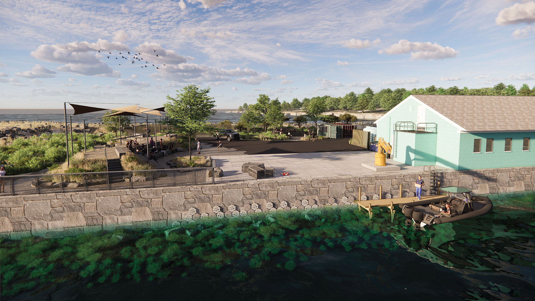
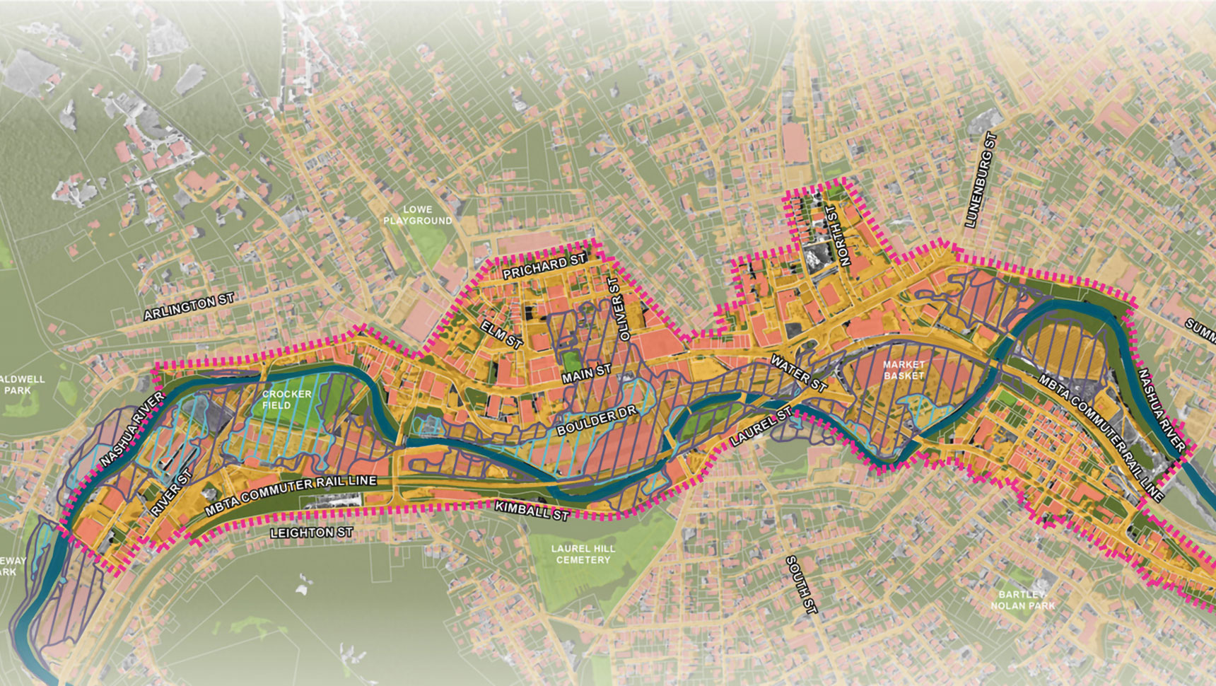
As Andover approached its 375th anniversary, the time was right to develop a vision for the Shawsheen River corridor. The Town hired Fuss & O’Neill to create a Master Plan that would highlight several priority projects and serve as a roadmap for how the Town could capitalize on the Shawsheen’s value to the community; improve access to, and engagement with, the Shawsheen’s many beneficial ecosystem services; and plan for a more resilient future to protect natural resources and prevent flood damage to the built environment.
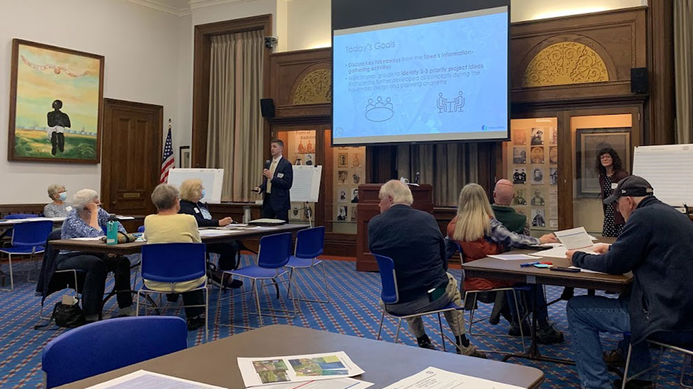
Fuss & O’Neill’s environmental planners and landscape architects led a community-driven process (public workshops and a design charrette) to develop the Master Plan. Town staff provided input regarding:
The public provided input regarding:
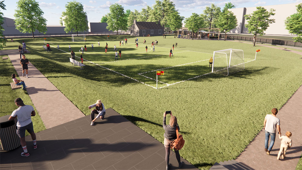
The Shawsheen River Master Plan was developed to be a living, web-based plan (created using ArcGIS Experience as the website platform) that could be updated over time by the Andover community. It provides a visual roadmap of priority projects, including planning level costs and a summary of potential permits/approvals needed for implementation.
The Master Plan was developed to be integrated with ongoing efforts to update the Town’s Comprehensive Master Plan and to be integrated with the high-priority climate resilience actions identified through the Town’s Municipal Vulnerability Preparedness (MVP) planning process, including Climate Ready Shawsheen.
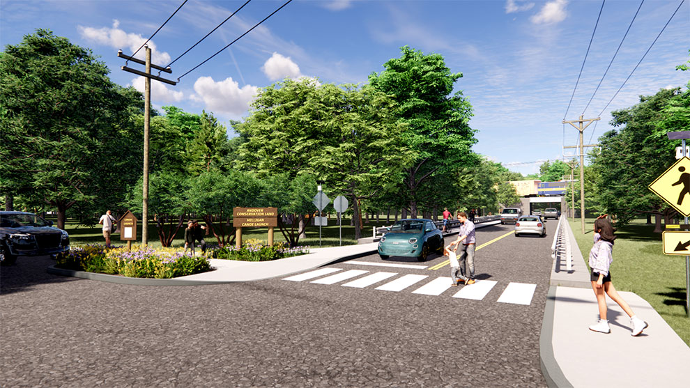
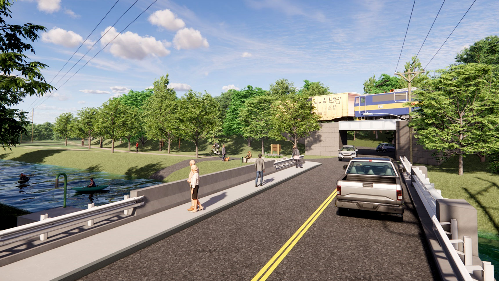
The Shawsheen River Master Plan will help the Town develop a vision for the future of the Shawsheen River corridor that can be leveraged to secure additional funding to implement priority projects and build public momentum for the implementation of priority projects.