
Route 114 Resilience Plan
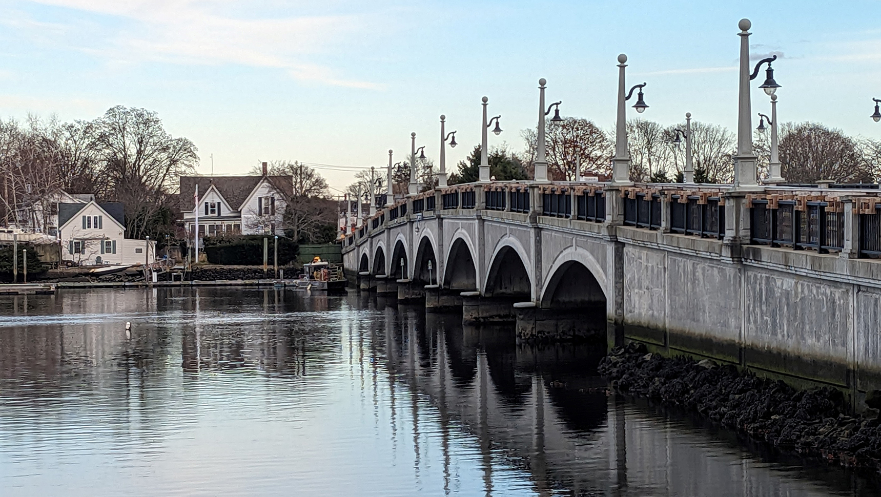
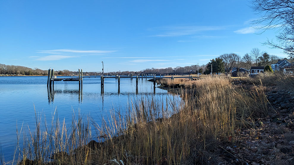
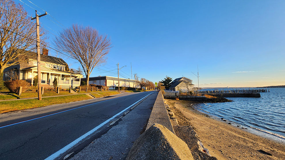
Route 114 in Rhode Island is a 46-mile, north-south regional connector in the state’s East Bay transportation network that provides critical connections between commercial, educational, and residential land uses. Currently, several low-lying segments of the Route 114 corridor are periodically inundated during coastal flooding events, and these conditions are only expected to worsen in the future with the increasing rise in sea levels and greater intensity of coastal storms.
The towns of Barrington, Bristol, and Warren – along with support from the Rhode Island Division of Statewide Planning (RIDSP), the Rhode Island Public Transit Authority, and the Rhode Island Department of Transportation – worked with Fuss & O’Neill to develop an action-oriented resilience plan for Route 114 that assessed the current and future vulnerabilities of the Route 114 corridor and established conceptual alternatives for reducing coastal flood risks and improving overall resilience in key areas of vulnerability throughout the region.
The goal of the Route 114 Resilience Plan was to prioritize actions that support long-term community goals and balance flood risk reduction with potential project costs to generate benefits that create value beyond coastal flood resilience.
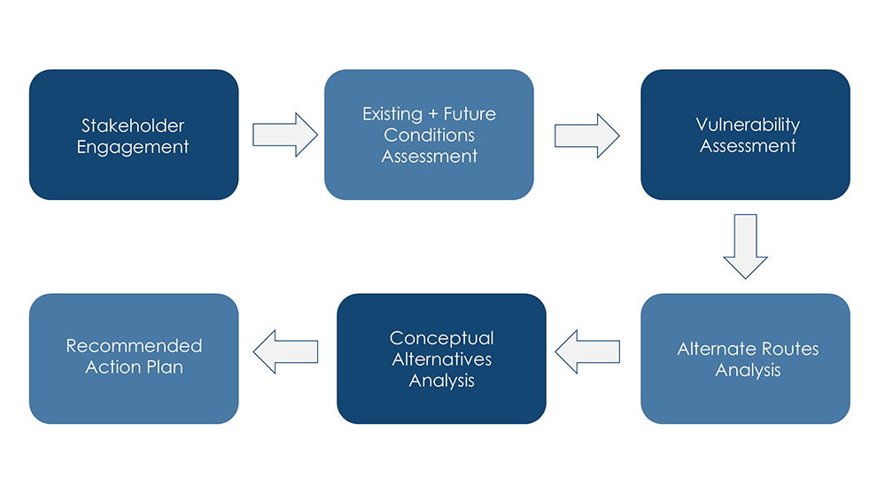
The project was organized into six phases, as shown in the image below.
Fuss & O’Neill’s project team of resilience specialists, water resources engineers, and environmental planners collected and reviewed mapping data related to utilities, buildings, roadways, open space, zoning, historic properties, and land use. They gathered climate and transportation modeling from key state resources, including STORMTOOLS and Sea Level Affecting Marsh Migration Model. The team reviewed existing plans and studies and conducted site visits and interviews with key project partners to refine resilience evaluation and planning approaches.
The data collected was combined into a geodatabase using GIS and used to generate existing and future condition base maps highlighting key areas of vulnerability.
This phase of the project included a review of existing and projected sea levels and coastal storm scenarios for Rhode Island. This included mapping the 10% and 1% annual exceedance probability flood events for both current and future two-foot sea level rise scenarios using data collected from STORMTOOLS. The full coastal flood assessment was included as part of the final plan.
A vulnerability assessment was conducted to evaluate transportation infrastructure, social, and cultural vulnerabilities within each area of vulnerability (AOV). The assessment considered current and future climate stressor scenarios caused by sea level rise and coastal storms. Quantitative frameworks for scoring each of these vulnerability dimensions were developed to generate vulnerability scores for each area of vulnerability. These scores would help to prioritize future decision-making regarding any regional resilience planning related to Route 114.
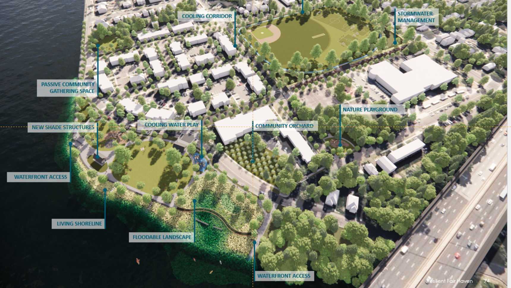
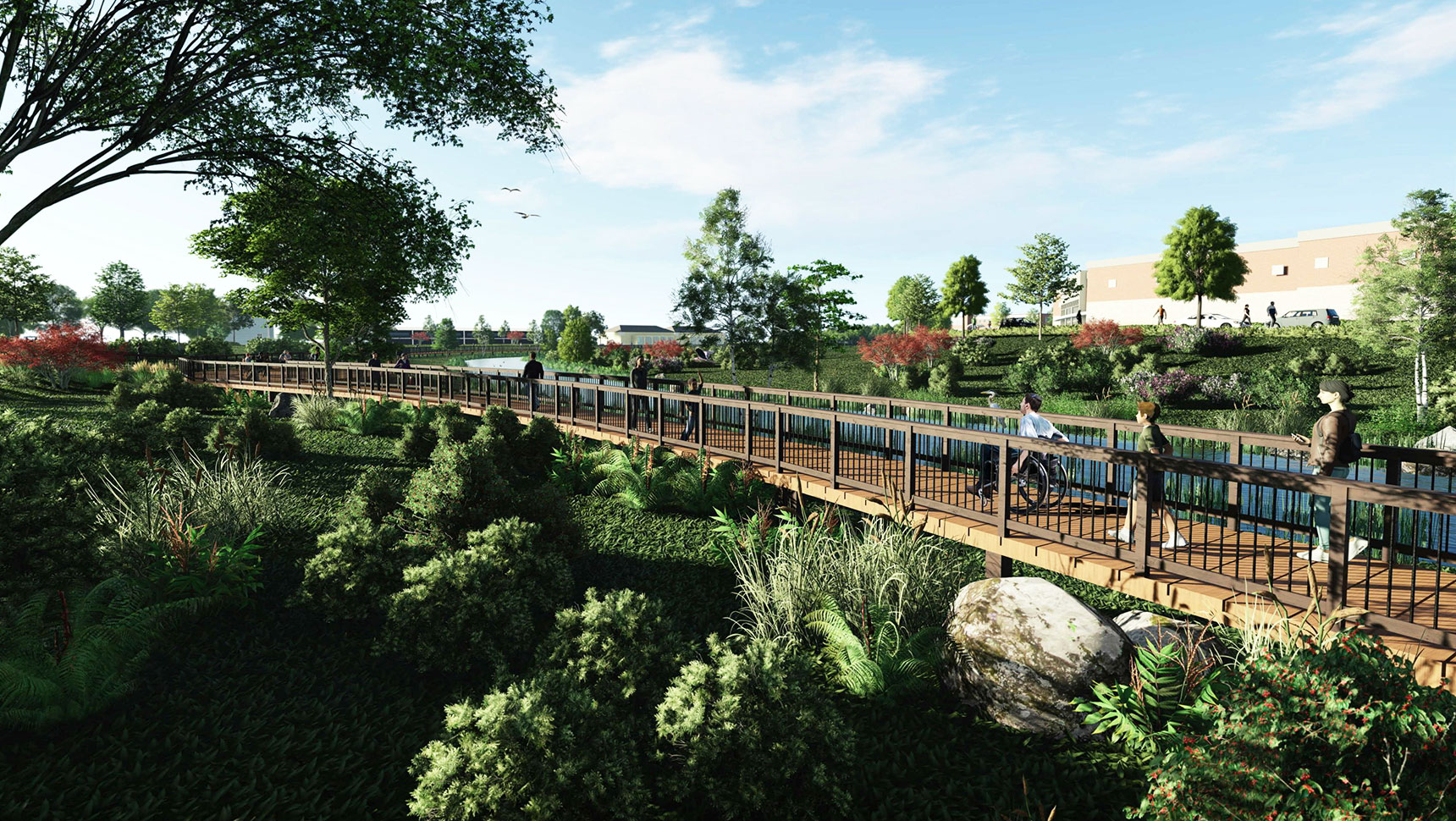
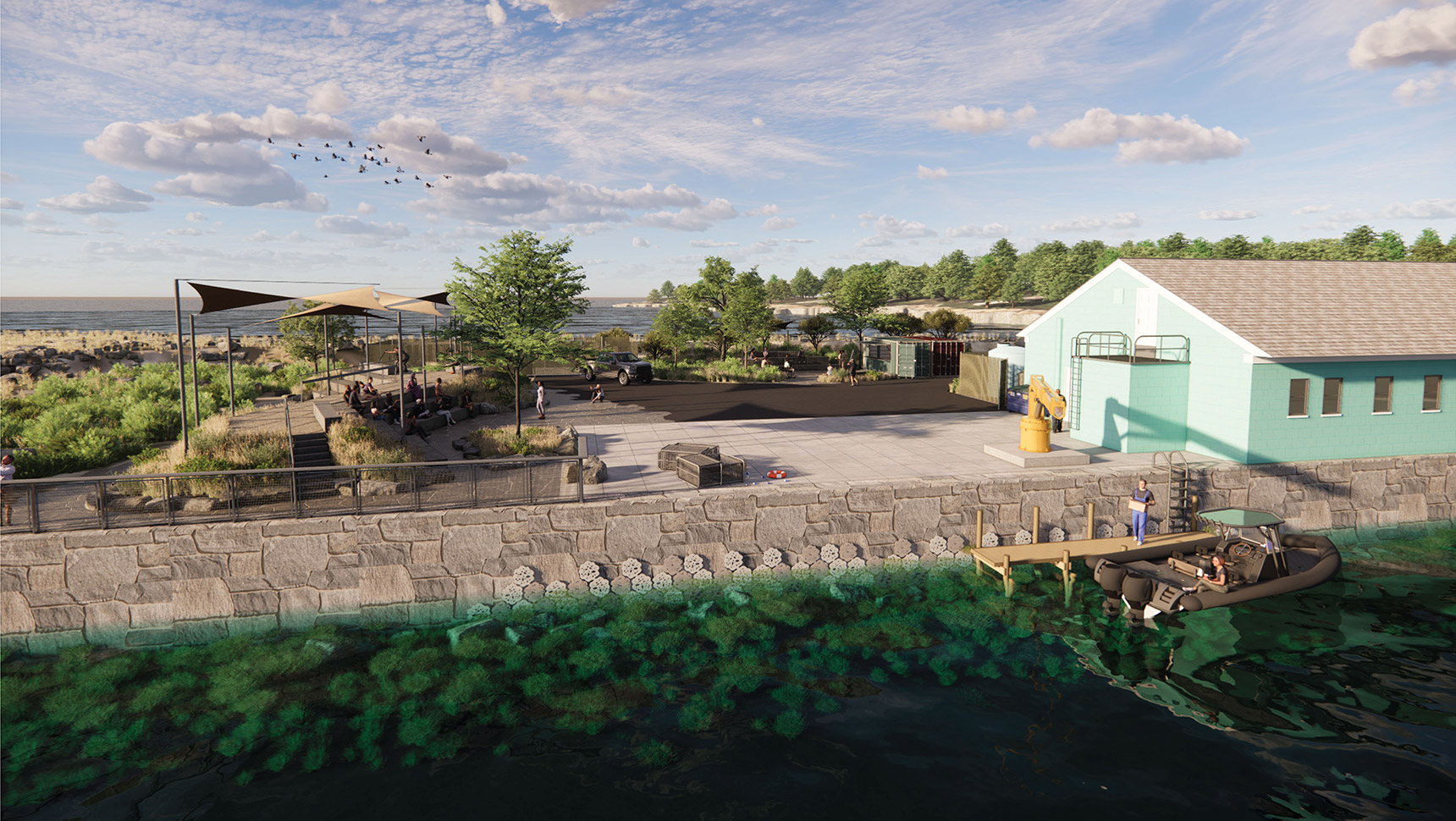
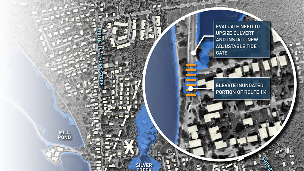
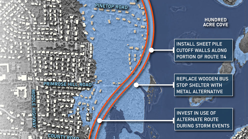
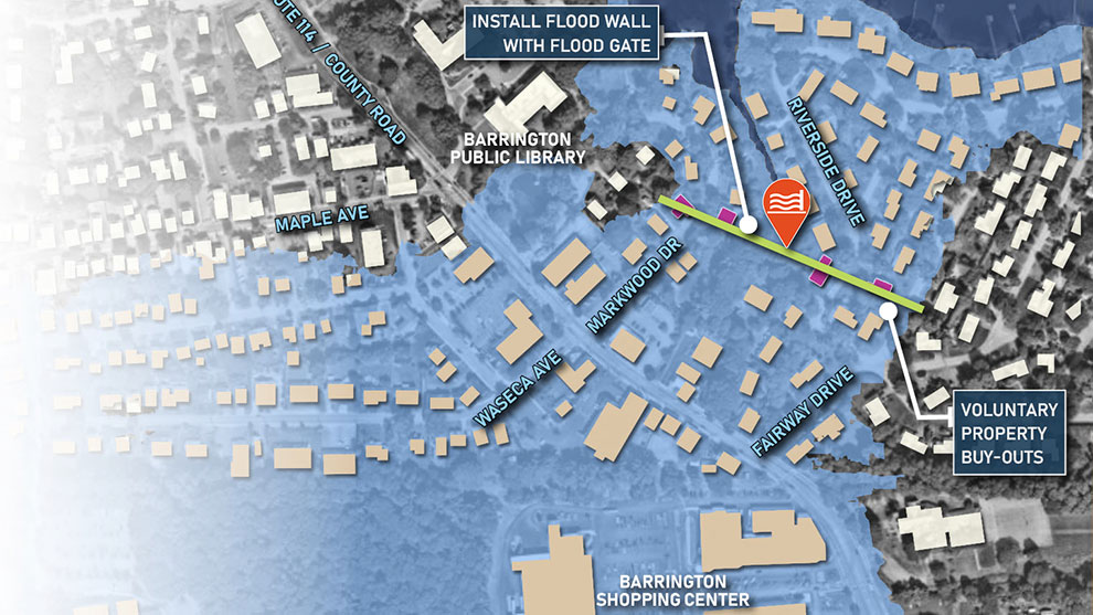
The Fuss & O’Neill team developed conceptual alternatives for improving the resilience of Route 114. For each AOV, low- and high-risk reduction alternatives were developed, which provided the towns with a variety of resilience and flood mitigation options.
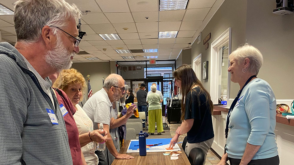
The Route 114 Resilience Plan project engaged local, regional, and state stakeholders in developing a purposeful and actionable plan that positions the Barrington, Bristol, and Warren communities to maximize the value of the future investments that will be required to make the Route 114 corridor more resilient to future flooding.
Stakeholders and members of the public had six opportunities to engage in the planning process. Three public workshops (each held twice) were conducted. The workshops following the completion of each planning phase to review key project milestones. To maximize opportunities for public engagement, the workshops were held in in different locations, featured an online-accessible simulcast, and they were recorded.
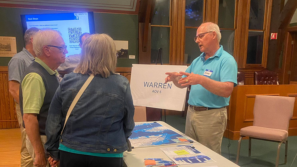
A website, hosted by RIDSP, was also created for this project. The workshop recordings were posted on the site, accompanied by a written summary of each workshop and its outcomes. The website provided regular updates on project activities, publications of project materials, and information on how to engage with the project.
The action-oriented resilience plan included:
The Resilience Plan identified and assessed the vulnerability of Route 114 segments in the towns of Barrington, Bristol, and Warren and examined the feasibility of potential solutions and resilience actions. This action-oriented plan will help these towns address and reduce damage to infrastructure, minimize economic production loss, and maintain critical emergency services.
The Route 114 Resilience Plan can be used by other municipalities and regional collaboratives as a blueprint for future flood resilience planning studies.