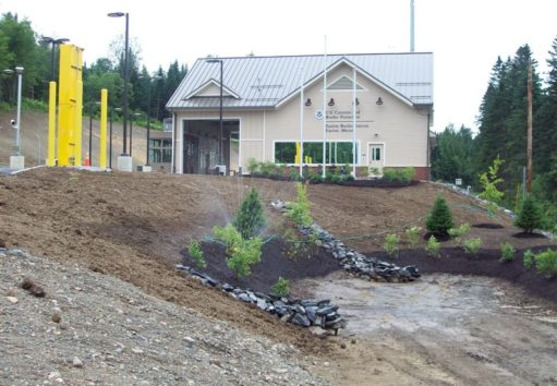
Investigation
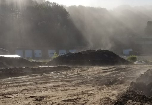
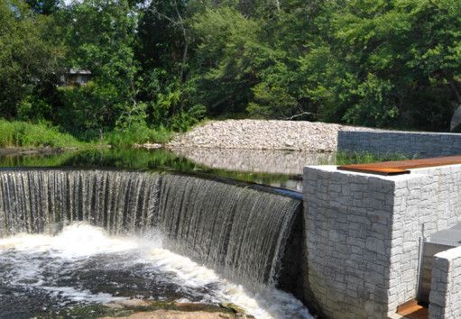
Our team conducted targeted sediment and vegetative assessments at the 38-acre site. These assessments were performed to collect data critical to characterize areas to place dredge sediment.


Evaluation
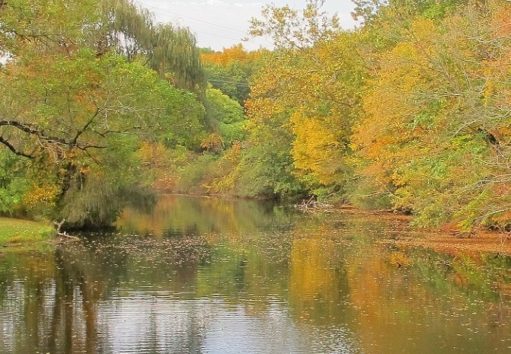
Following our targeting field assessments, we worked closely with CRMC to evaluate alternatives and finalize the approach. Tidal records and sea level rise projections were evaluated and used to develop an integrated restoration plan.
Practice Areas Involved

Resiliency
Tidal data, survey elevations, vegetative community transects, and sea level rise projections were assessed along with dredge volume estimates to refine the restoration approach. We worked closely with CRMC to finalize the approach reflected on final design drawings for bidding.


Approach
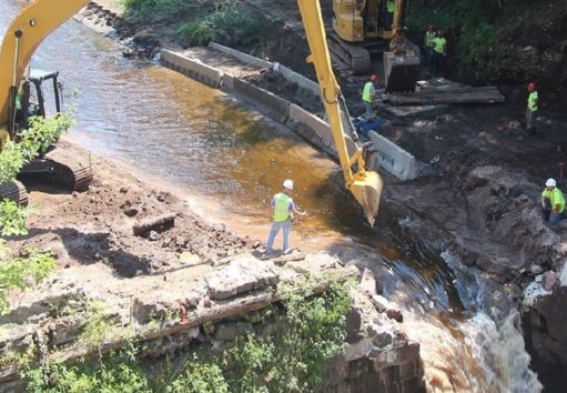
The integrated restoration plan included metrics and criteria supporting development and implementation of the project’s adaptive management plan and associated post-restoration monitoring. Compliance support included developing permit applications to respective state and federal agencies, and an Environmental Assessment to meet NEPA (National Environmental Policy Act) requirements. Dredge areas were surveyed and volumetric analyses were completed to provide updated estimates of available dredge material volumes available to implement restoration.